Insurance and Restoration Documentation | Facility Management Site Surveys | Engineering and Construction As-builts | Architecture Drafting
At ProCaptureFX LLC, we redefine excellence in Residential Real Estate, Facility Management, Insurance Restoration and Documentation, Architecture, Engineering, and Construction through cutting-edge imaging solutions. Our innovative technologies empower residential property sellers with immersive visual experiences, provide facility managers with precise documentation for seamless operations, streamline insurance claims processing through accurate analysis, enhance architectural and engineering projects with detailed planning and construction progress visualization. We are committed to setting new industry standards by leveraging advanced imaging solutions to exceed expectations and deliver unparalleled value across diverse sectors.
We utilize the iGUIDE PLANIX camera system featuring a 360° camera combined with a time-of-flight 2D laser scanner with a long range. Data collected by the camera is used to construct accurate floor plans, but also making measurements in 3D space. Due to the long range of the LiDAR technology, the camera needs fewer camera positions to collect data in order to produce precise and accurate measurement data for constructing floor plans. Floor plans created from the data is accurate within 0.5% and complies with the ANSI® Z765-2021 (American National Standards Institute®) standard for measuring, calculating, and reporting square footage(s) to determine gross living area (GLA) and non-GLA areas of properties for appraisals requiring interior and exterior inspections.
Site Survey, As Builts, and Measurement Pricing
Pricing is based on square footage and whether you require specific features such as:
- Colored Floor Plans with cabinet placements.
- Advanced Measurements or the ability to snap measurements online while viewing the image.
- File Extension Compatibility with Exactimate/Verisk, ESX, or DWG CAD drawings.
- Virtual Reality (VR)
We Are Here To Help
Feel free to give us a call or text us at the number below so that we can discuss the requirements of your upcoming project and provide you with a quote for our services.
We’re committed to providing you with the information and assistance to get your project completed on time and within your budget.
Email at info@procapturefx.com
High Resolution Photos
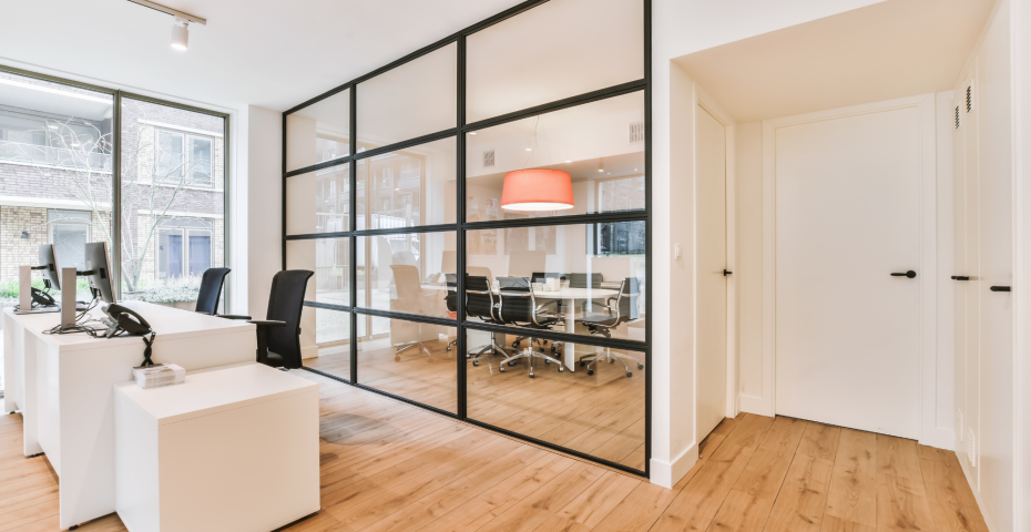
ProCaptureFX utilizes high-resolution still and 360 photos to help you market commercial office spaces offering a myriad of advantages. These detailed images capture the essence of the spaces, providing potential buyers or lessees with a comprehensive and visually appealing representation. The vibrant and crisp visuals showcase the professionalism and quality of the office spaces, making them more attractive to prospective tenants or buyers. In a competitive market, where first impressions matter, high-resolution photos play a pivotal role in presenting commercial office spaces in the best possible light and maximizing their market appeal. Our approach to photographing Office Spaces is very similar to our approach to Real Estate Photography except that we want to highlight the unique features of the space. Take a look at our Gallery to view similarities.
Insurance Restoration and Documentation
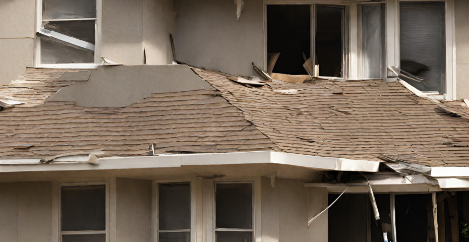
Our streamlined process swiftly assesses property damage using advanced tech, automating floor plans compatible with Verisk Xactimate in minutes. Insurance claims drag due to evidence reliability; ProCaptureFX’s LiDAR ensures precise plans for accurate claims, capturing 3,000 sq ft in 15-20 mins, reducing errors, and securely delivering files for adjusters.
Facility Management
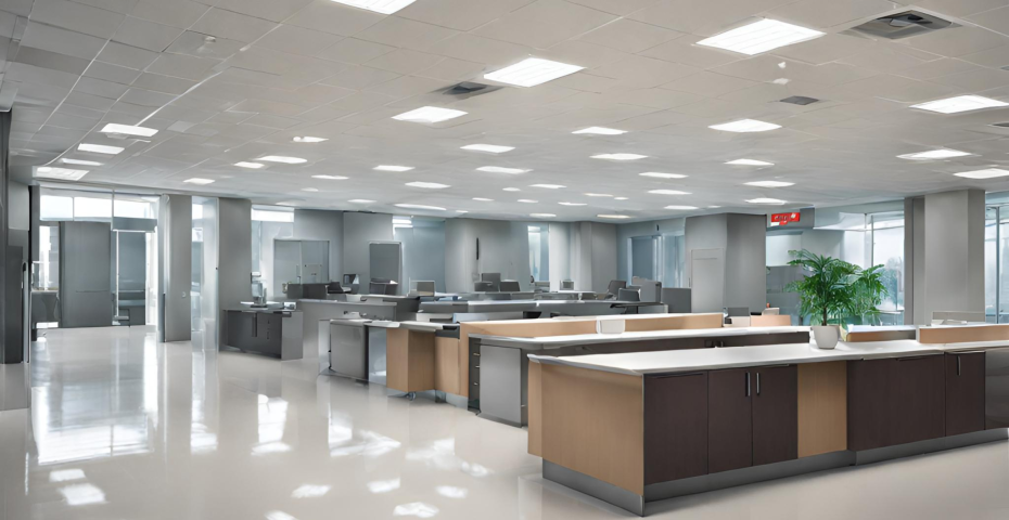
ProCapture FX streamlines 3D walk-throughs and property data creation. Using LiDAR, we swiftly map interiors, generate precise 2D floor plans, and document facility conditions, aiding in capital asset planning and enhancing workflows. With DWG Floor Plans, measure properties swiftly, receive under-48-hour delivery, and transform property assessment approaches for efficiency.
Architecture, Engineering, and Construction
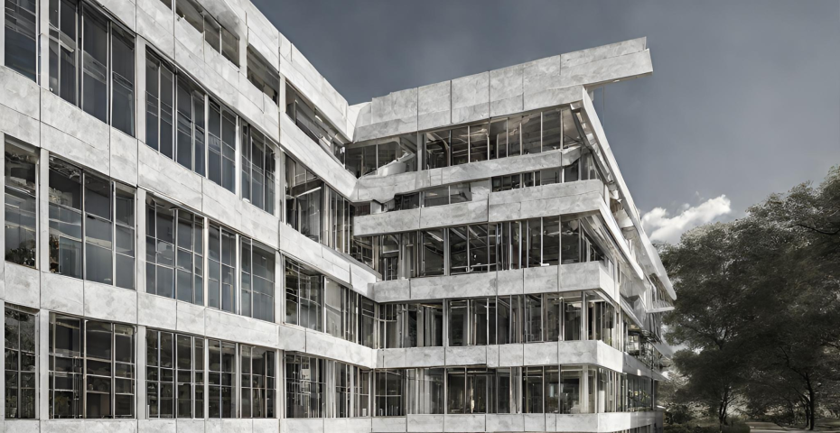
ProCaptureFX rapidly provides DWG floor plans in under 48 hours, simplifying file sharing and crafting immersive 3D walkthroughs. Streamline your process, erasing inaccuracies and time drains in project planning. Expedite permit approvals, access 24/7 project site reviews via 3D walkthroughs, gather on-demand digital measurements, and attract more bids for enhanced project efficiency and success.
How We Work
-
Step 1: Scope Project
Submit your project request complete with your goals and objectives so that we can accurately determine cost based on square footage of the property.
-
Step 2: Schedule Project
Once we agree on scope, cost, and approach we can schedule a date and time to perform the actual work to capture images and measurements.
-
Step 3: Preparation
Preparing the property is a crucial step in the process and will make the photographers time on site very efficient to capture what you want and highlight unique aspects of a property.
-
Step 4: On Site Survey
On Site meticulous planning unfolds into action. The photographer arrives, equipped to capture the details of the project. Initial walkthroughs allows us to strategize shots, noting unique property elements and angles.
-
Step 5: Product Delivery
Upon completing the photo shoot, we curate and edit the captured images, ensuring each end-product reflects the project requirements and delivered to you in shortest amount of time possible.

